User Tools
robots:computer:talos:software
This is an old revision of the document!
Software
general:
- Operating System Ubuntu 14.04 www.ubuntu.com
- Robot Software (ROS) http://ros.org
- parts of the software are based on FroboMind
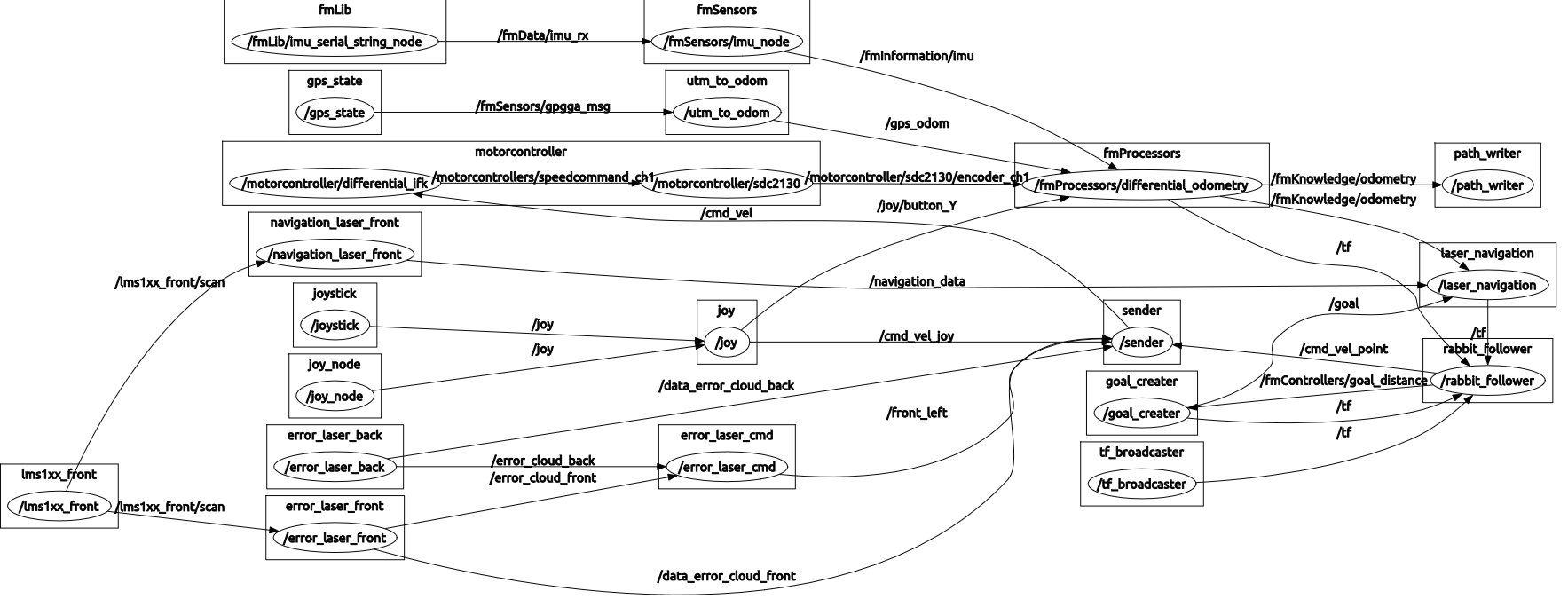
rough Programming structure
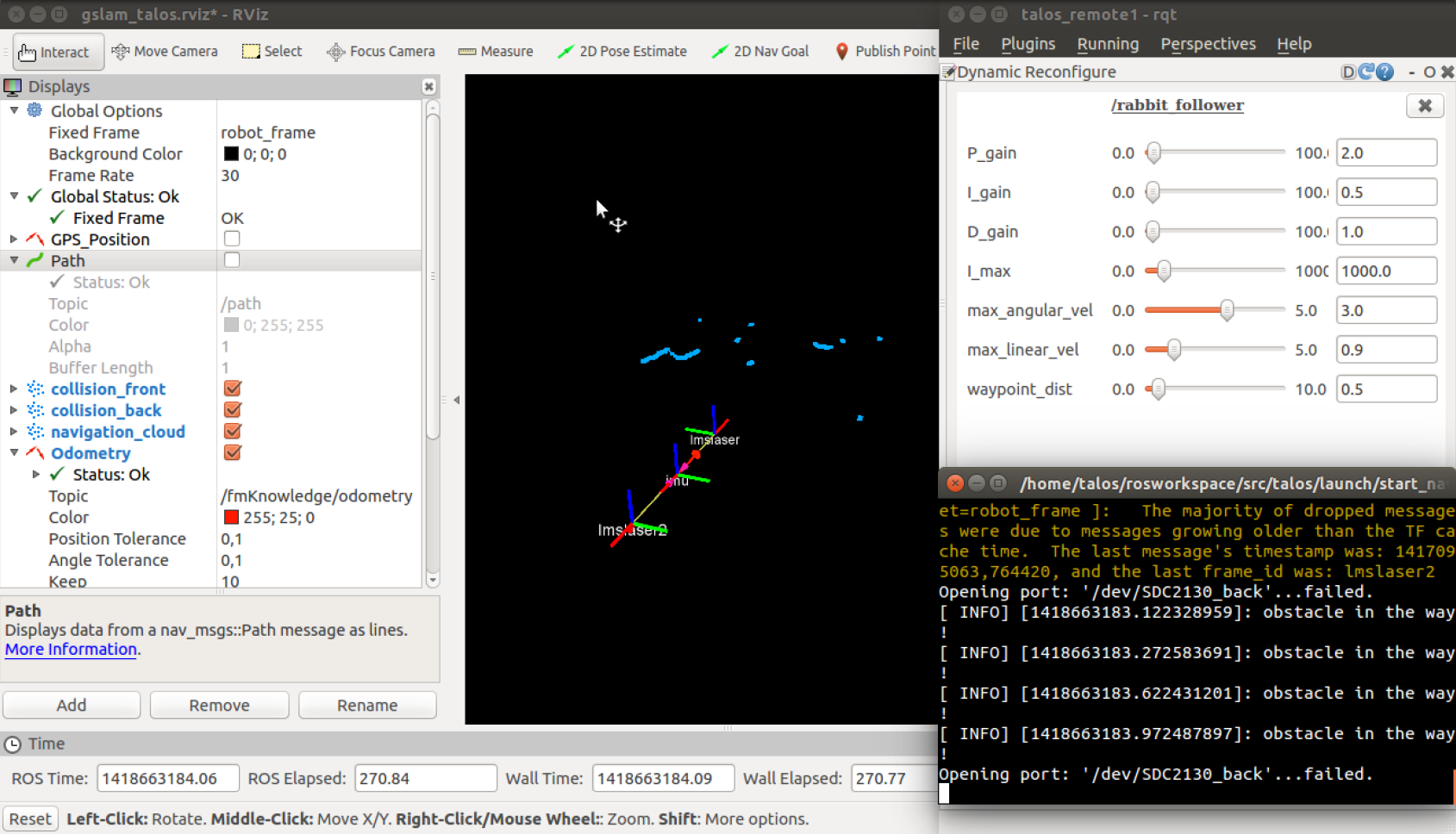
- using laserscanner for obstacle avoidance
- IMU set orientation angle
- absolute position gets evaluated by the signals of IMU, RTK-GPS and wheel encoders
- 3 Layer architecture
- Deterministic path planning
- security layer
- obstacle avoidance
robots/computer/talos/software.1420645123.txt.gz · Last modified: 2021/08/14 04:20 (external edit)


